


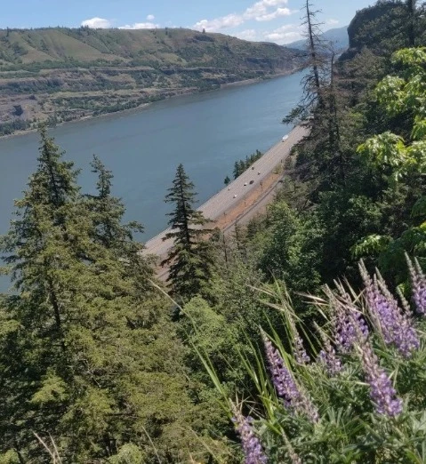
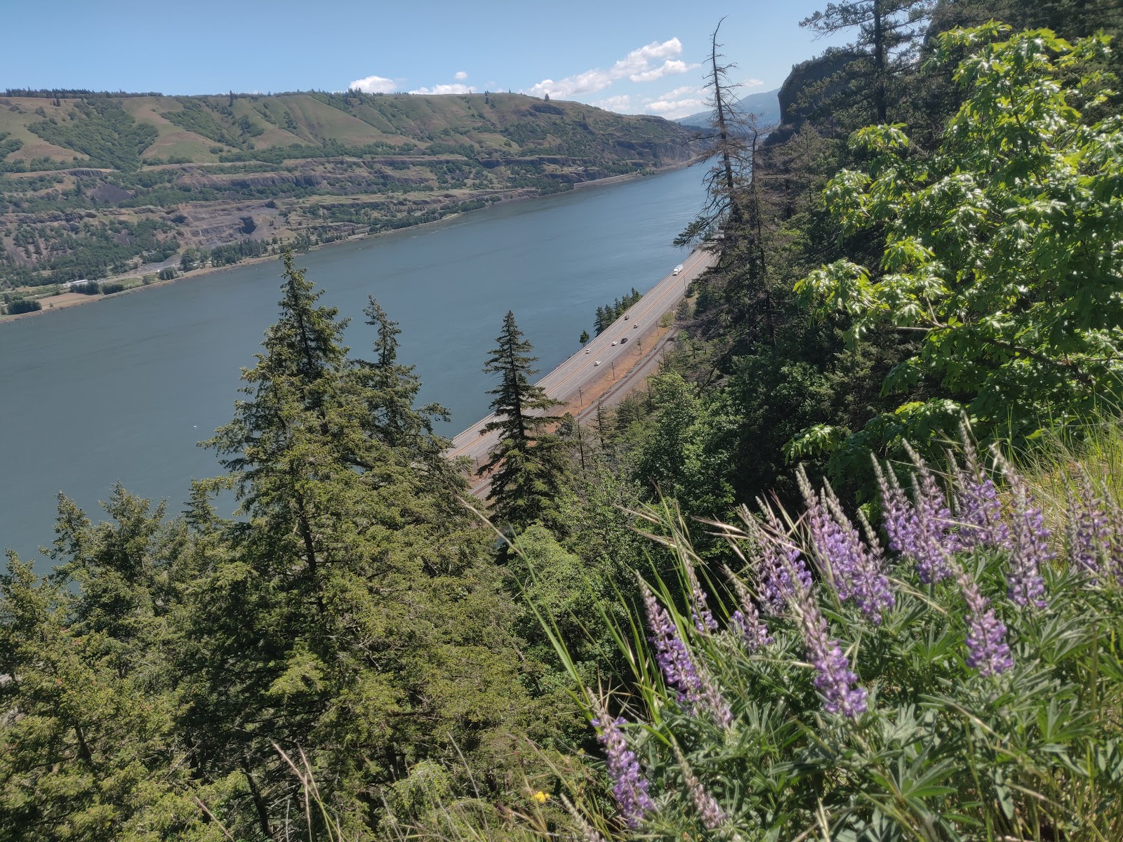
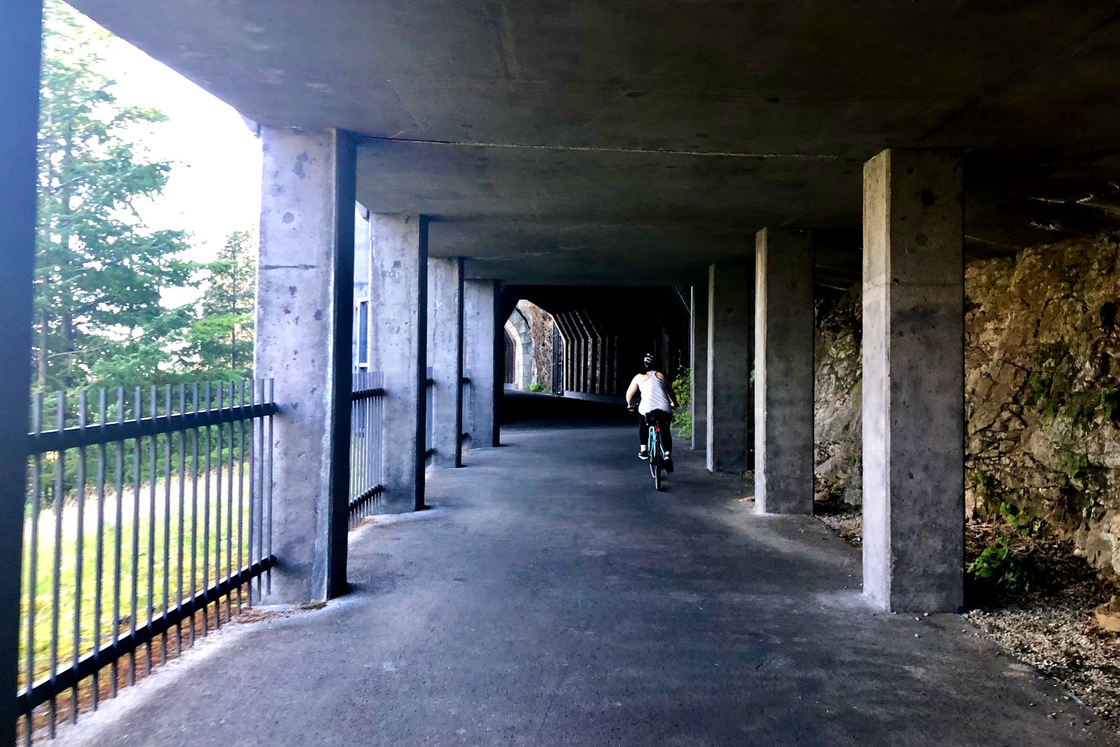
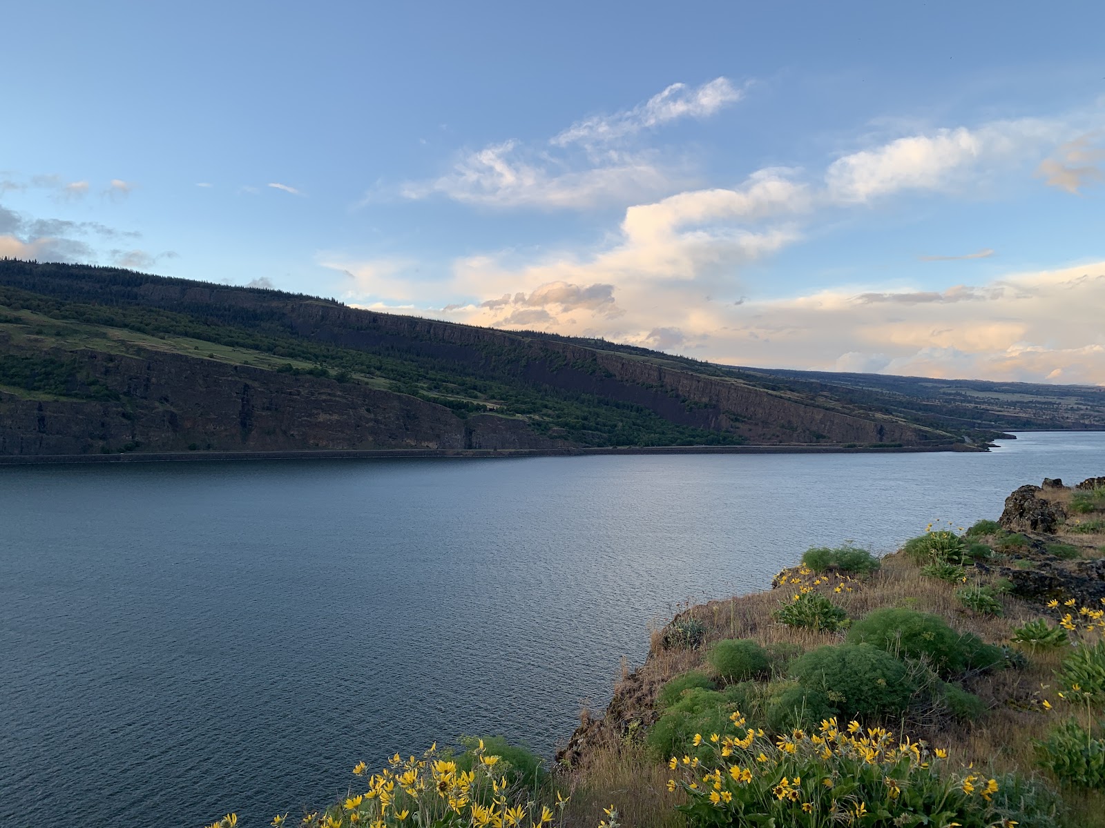
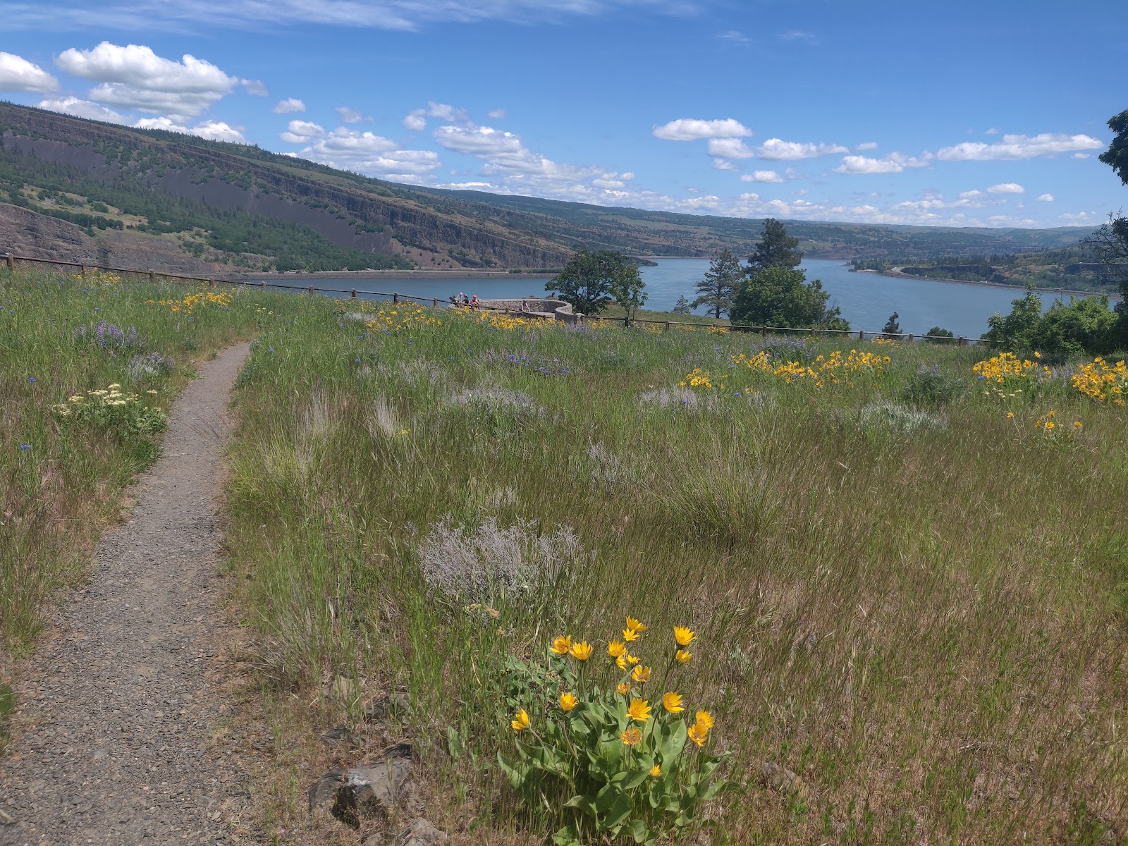
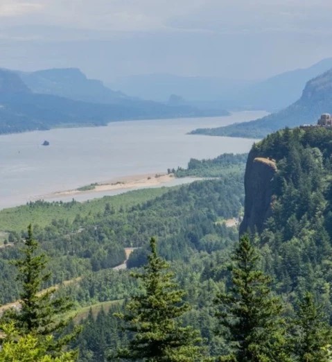
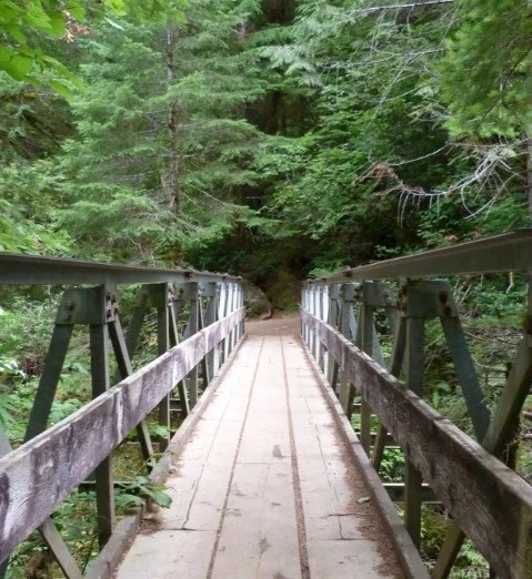
This paved trail is broken up into 3 segments and provides around 12 miles of path to walk, bike, or run on while receiving top-notch views of the Columbia River Gorge.
Once the only road to connect Portland to The Dalles, the Historic Columbia River Highway State Trail is comprised of 3 separate paved segments along parts of the Historic Columbia River Highway. Journey through not only nature but also time as you walk, run, or bike on sections of this remarkable trail that provides unmatched views of the iconic Columbia River Gorge. Dogs are also welcome on the trail, as long as they stay on a leash.
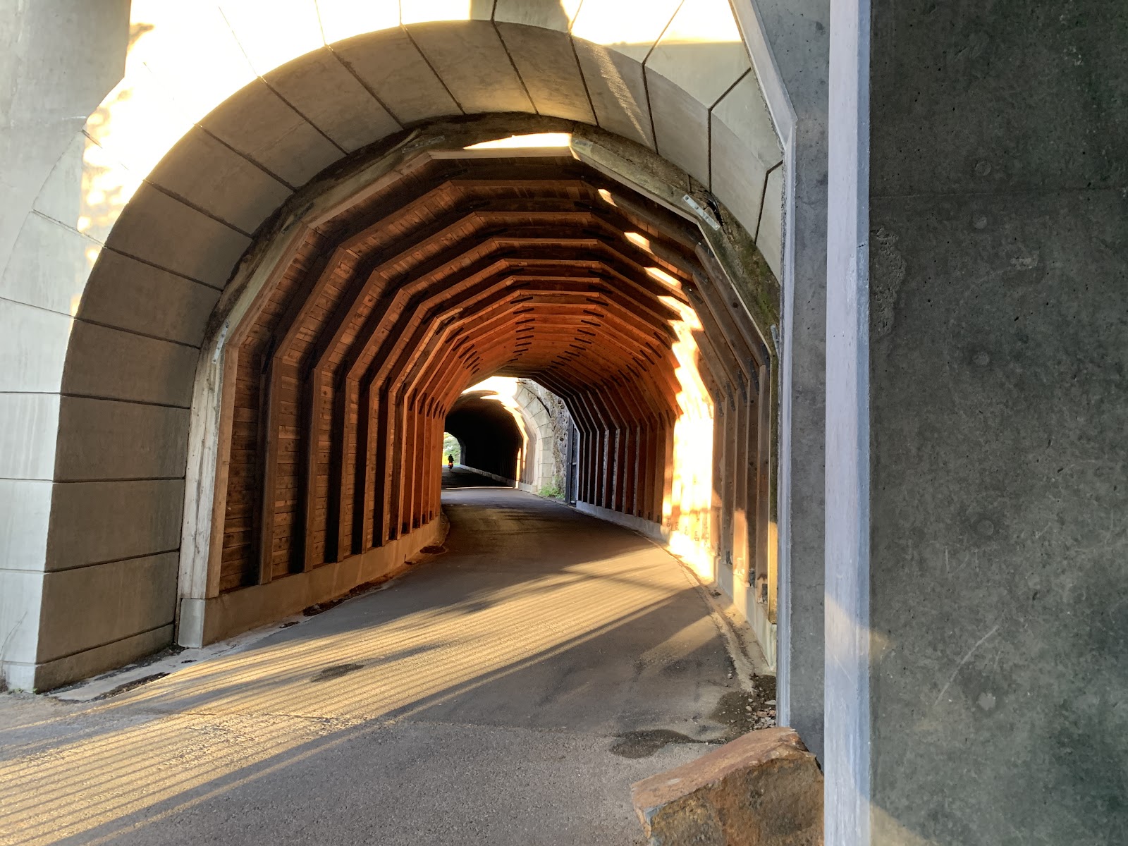
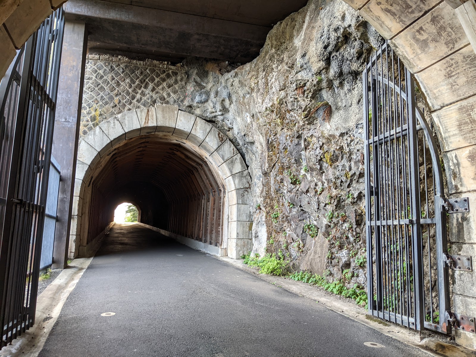
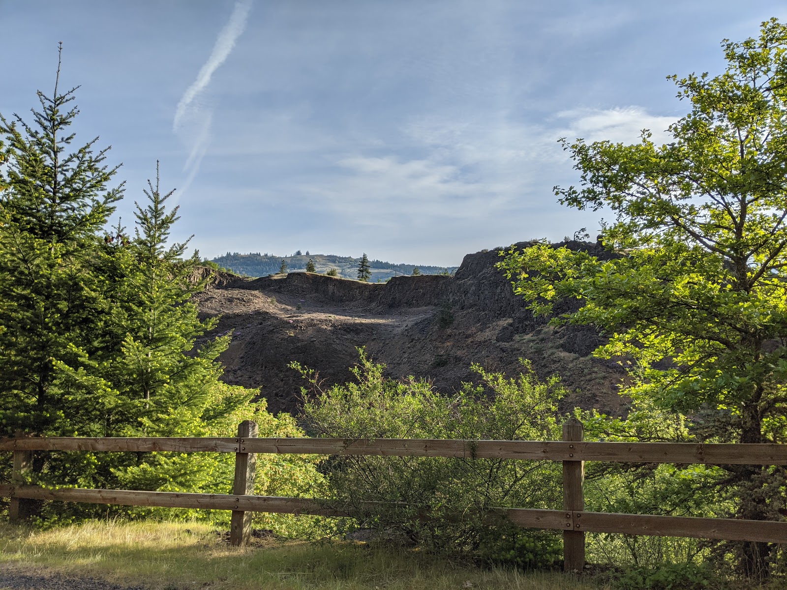
Originally built for automobiles, the historic highway was later replaced by modern freeways but has been restored so that it can be enjoyed recreationally today. Driving along this route is one thing, but getting out and truly immersing yourself in the surrounding nature brings the experience to a whole new level. The segments are known as the Bonneville Segment, the Mitchell Point Segment (6 miles), and the Twin Tunnels Segment (4.5 miles).
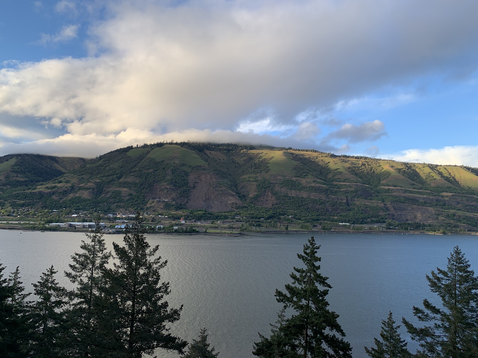
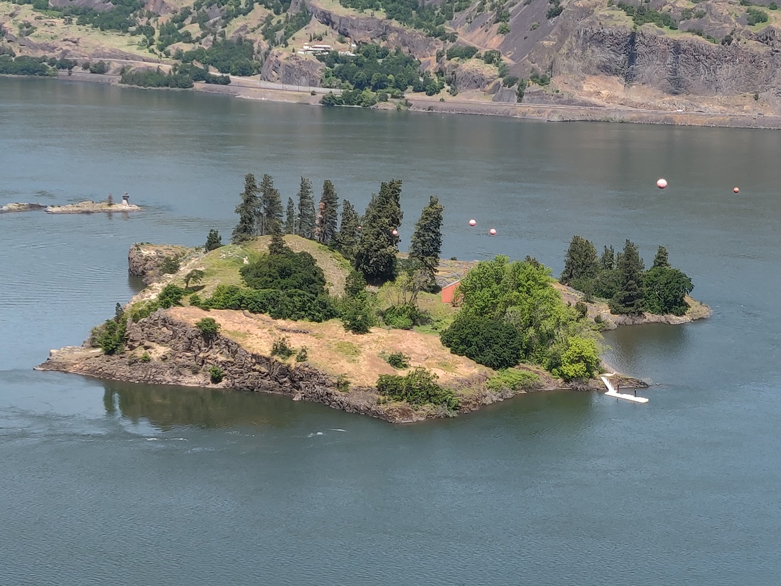
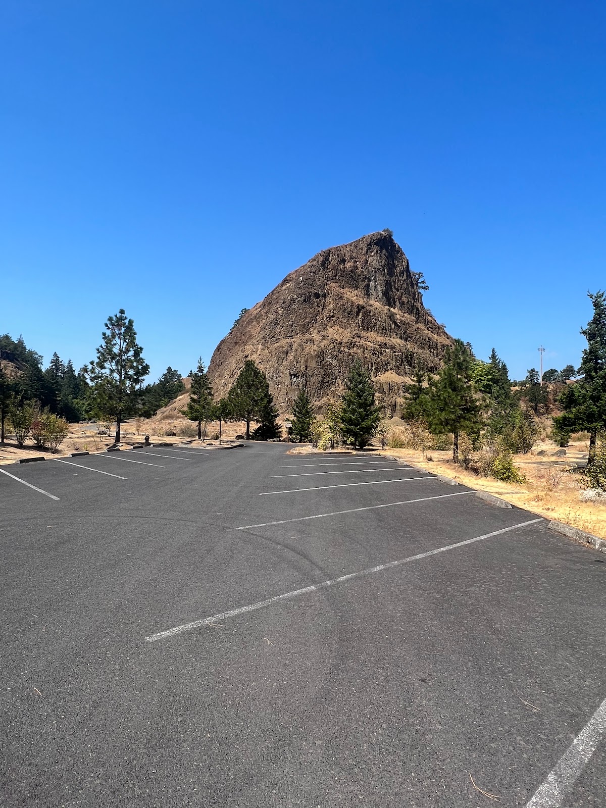
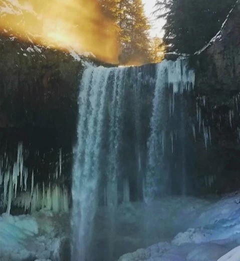
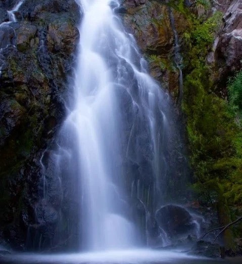
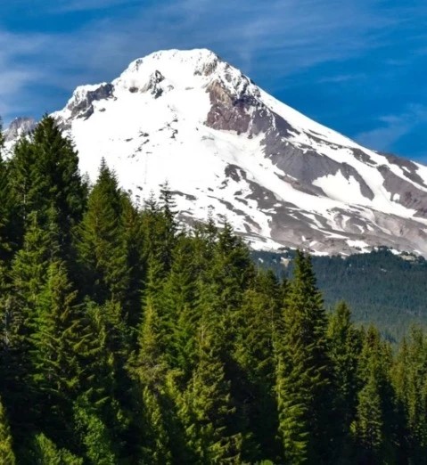
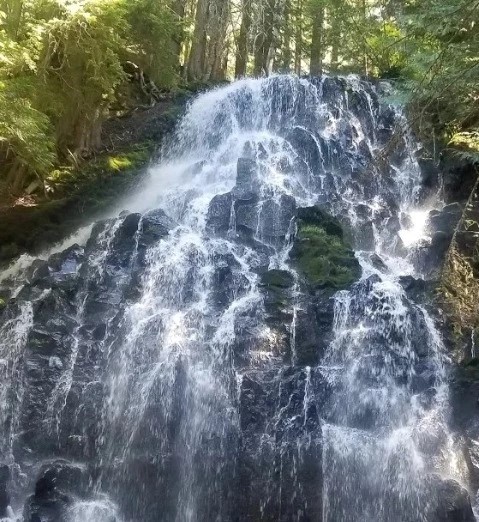
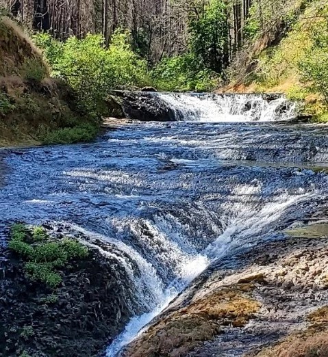
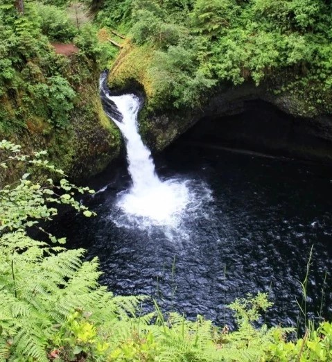
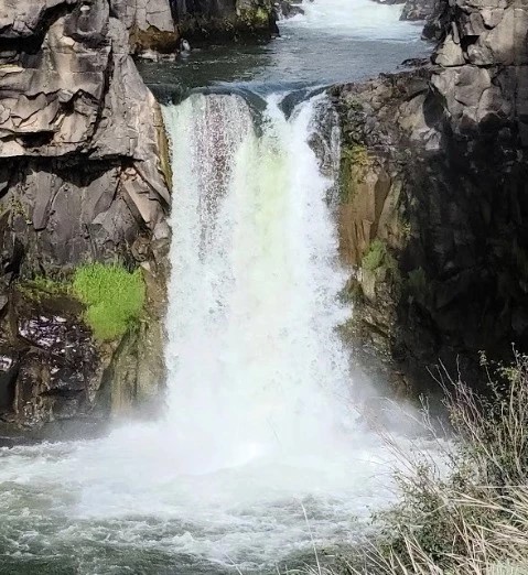
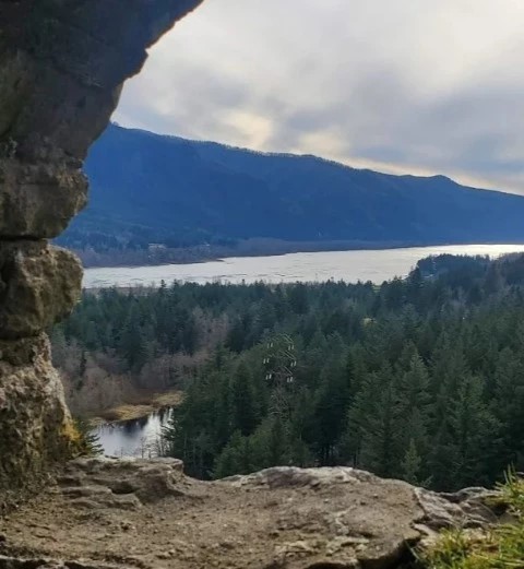
Along the way, you can expect to see various historic sites, picnic areas to relax at, viewpoints of the gorge, and cascading waterfalls. The Historic Columbia River Highway State Trail provides an amazing and unique way to experience the gorge in all its glory. From ponderosa pines to the breathtaking rock formations all around, this trail highlights some of Oregon’s greatest features.
There aren't any reviews for Historic Columbia River Highway State Trail | Mark O. Hatfield West Trailhead yet.
Be the first to write one!There aren't any comments for Historic Columbia River Highway State Trail | Mark O. Hatfield West Trailhead yet.
post the first comment!


Report a comment
Please let us know why you want to report the comment from this user:
Thank you. Your report will be reviewed soon